 OSAR
OSAR
Current Status
Where is the vessel?
OSAR is currently in 16 nm SE of Marmara Ereglisi, based on AIS data received about 14h ago.
Latest AIS update:
Current position: 40.79921° N, 28.23950° E (16 nm SE of Marmara Ereglisi)
Average speed (last 7 days): Loading…
Average speed (last 30 days): Loading…
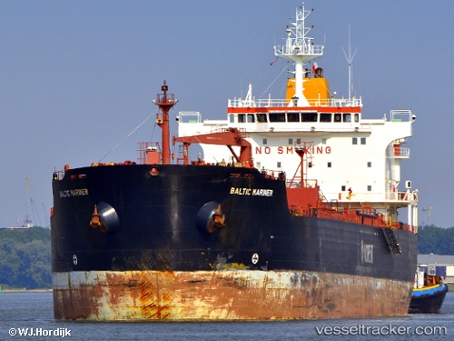
Vessel profile: OSAR is a Oil/Chemical Tanker with dimensions m x m.
This page combines live AIS, route history, probable destination signals, nearby traffic, and port activity for practical vessel monitoring.
The current position of vessel OSAR is 40.79921 lat / 28.23950 lng. Updated: 2026-05-21 03:51:48 UTCNearest reference points:
- Near Gürpinar
- 11 nm E of Erdek
- Near Saraylar
Currently sailing under the flag of Sierra Leone ![]()
Details:
Live Vessel OSAR Analytics (details, animations, etc.)
Recent AIS points (UTC):
2026-05-21 00:06:34 UTC · 40.58126, 27.22130 · SOG 13.3 kn · COG 64°2026-05-21 01:02:44 UTC · 40.66911, 27.46055 · SOG 12.7 kn · COG 66°
2026-05-21 02:02:58 UTC · 40.73733, 27.73233 · SOG 13.1 kn · COG 77°
2026-05-21 03:51:48 UTC · 40.79921, 28.23950 · SOG 13.3 kn · COG 88°