 LADY JAMILA
Current Status
Where is the vessel?
LADY JAMILA is currently in 26 nm W of Haifa Granaries, based on AIS data received about 14h ago.
Latest AIS update:
Current position: 32.93907° N, 34.50117° E (26 nm W of Haifa Granaries)
Average speed (last 7 days): Loading…
Average speed (last 30 days): Loading…
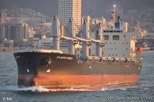
Vessel profile: LADY JAMILA is a Bulk Carrier with dimensions m x m.
This page combines live AIS, route history, probable destination signals, nearby traffic, and port activity for practical vessel monitoring.
The current position of vessel LADY JAMILA is 32.93907 lat / 34.50117 lng. Updated: 2026-05-21 07:21:30 UTCNearest reference points:
- 22 nm W of Haifa Granaries
- Near Haifa
- 17 nm E of Atakka Dry Port
Currently sailing under the flag of Panama ![]()
Details:
Live Vessel LADY JAMILA Analytics (details, animations, etc.)
Recent AIS points (UTC):
2026-05-21 03:53:41 UTC · 33.05827, 34.69293 · SOG 0.9 kn · COG 339°2026-05-21 04:36:41 UTC · 33.06760, 34.70008 · SOG 1.1 kn · COG 343°
2026-05-21 05:21:51 UTC · 33.07859, 34.70661 · SOG 2.7 kn · COG 297°
2026-05-21 07:21:30 UTC · 32.93907, 34.50117 · SOG 0.4 kn · COG 353°