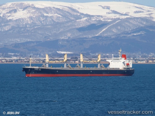
 HONG RUN 16
Current Status
Where is the vessel?
HONG RUN 16 is currently in 109 nm SW of Kaohsiung, based on AIS data received about 15h ago.
Latest AIS update:
Current position: 21.43637° N, 118.76388° E (109 nm SW of Kaohsiung)
Average speed (last 7 days): Loading…
Average speed (last 30 days): Loading…
Vessel profile: HONG RUN 16 is a Bulk Carrier with dimensions 32m x 188m.
This page combines live AIS, route history, probable destination signals, nearby traffic, and port activity for practical vessel monitoring.
The current position of vessel HONG RUN 16 is 21.43637 lat / 118.76388 lng. Updated: 2026-05-21 05:31:56 UTCNearest reference points:
- 96 nm SW of Kaohsiung
- 132 nm SW of Kaohsiung
- 101 nm S of Kaohsiung
Currently sailing under the flag of Liberia ![]()
HONG RUN 16 built in 2006 year
Deadweight:
52900 tDetails:
Live Vessel HONG RUN 16 Analytics (details, animations, etc.)
Recent AIS points (UTC):
2026-05-21 02:29:55 UTC · 20.96613, 118.45421 · SOG 11.2 kn · COG 30°2026-05-21 03:49:46 UTC · 21.17760, 118.59677 · SOG 11.1 kn · COG 26°
2026-05-21 03:49:46 UTC · 21.17760, 118.59677 · SOG 11.1 kn · COG 26°
2026-05-21 05:31:56 UTC · 21.43637, 118.76388 · SOG 10.4 kn · COG 31°