 GERHILD
Current Status
Where is the vessel?
GERHILD is currently in Near Mumbai, based on AIS data received about 14h ago.
Latest AIS update:
Current position: 18.94022° N, 72.85347° E (Near Mumbai)
Average speed (last 7 days): Loading…
Average speed (last 30 days): Loading…
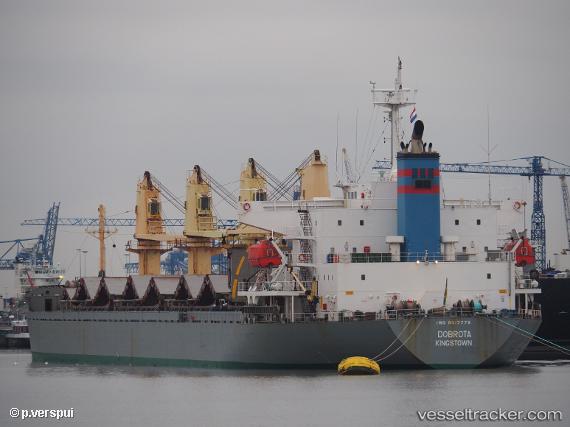
Vessel profile: GERHILD is a Bulk Carrier with dimensions m x m.
This page combines live AIS, route history, probable destination signals, nearby traffic, and port activity for practical vessel monitoring.
The current position of vessel GERHILD is 18.94022 lat / 72.85347 lng. Updated: 2026-05-21 02:37:45 UTCNearest reference points:
- Near Mumbai
- Near HNB SEZ/Mumbai
- Near NHAVA SHEVA
Currently sailing under the flag of Panama ![]()
Details:
Live Vessel GERHILD Analytics (details, animations, etc.)
Recent AIS points (UTC):
2026-05-20 22:07:19 UTC · 18.93793, 72.84443 · SOG 0 kn · COG 14°2026-05-20 23:22:18 UTC · 18.93798, 72.84448 · SOG 0 kn · COG 14°
2026-05-21 02:13:41 UTC · 18.94022, 72.85347 · SOG 0 kn · COG 13°
2026-05-21 02:37:45 UTC · 18.94022, 72.85347 · SOG 0 kn · COG 13°