 ANKA BLUE
Current Status
Where is the vessel?
ANKA BLUE is currently in Near Isdemir, based on AIS data received about 15h ago.
Latest AIS update:
Current position: 36.73183° N, 36.19584° E (Near Isdemir)
Average speed (last 7 days): Loading…
Average speed (last 30 days): Loading…
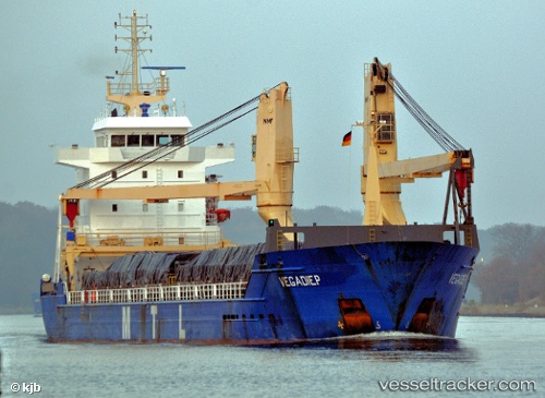
Vessel profile: ANKA BLUE is a General Cargo with dimensions m x m.
This page combines live AIS, route history, probable destination signals, nearby traffic, and port activity for practical vessel monitoring.
The current position of vessel ANKA BLUE is 36.73183 lat / 36.19584 lng. Updated: 2026-05-24 12:06:51 UTCNearest reference points:
- Near DORTYOL
- Near Iskenderun
- Near CEYHAN
Currently sailing under the flag of Barbados ![]()
Details:
Live Vessel ANKA BLUE Analytics (details, animations, etc.)
Recent AIS points (UTC):
2026-05-24 07:57:53 UTC · 36.73181, 36.19580 · SOG 0 kn · COG 234°2026-05-24 10:18:54 UTC · 36.73179, 36.19582 · SOG 0 kn · COG 235°
2026-05-24 11:00:51 UTC · 36.73180, 36.19582 · SOG 0 kn · COG 234°
2026-05-24 12:06:51 UTC · 36.73183, 36.19584 · SOG 0 kn · COG 234°