 Amur River
Current Status
Where is the vessel?
Amur River is currently in 125 nm SE of Port Edward, based on AIS data received about 15h ago.
Latest AIS update:
Current position: 32.49333° S, 31.98500° E (125 nm SE of Port Edward)
Average speed (last 7 days): Loading…
Average speed (last 30 days): Loading…
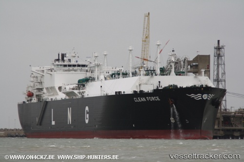
Vessel profile: Amur River is a Lng Tanker with dimensions 288m x 44m.
This page combines live AIS, route history, probable destination signals, nearby traffic, and port activity for practical vessel monitoring.
The current position of vessel Amur River is -32.49333 lat / 31.98500 lng. Updated: 2026-05-20 19:33:34 UTCNearest reference points:
- 125 nm SE of Port Edward
- 181 nm SE of Hibberdene
- 23 nm E of Port Saint John's
Currently sailing under the flag of Marshall Is ![]()
Amur River built in 2008 year
Deadweight:
84598 tDetails:
Live Vessel Amur River Analytics (details, animations, etc.)
Recent AIS points (UTC):
2026-05-20 15:54:25 UTC · -32.19577, 32.85377 · SOG 13.3 kn · COG 246°2026-05-20 16:12:27 UTC · -32.22201, 32.78220 · SOG 13.1 kn · COG 247°
2026-05-20 18:03:59 UTC · -32.37139, 32.33806 · SOG 12.9 kn · COG 248°
2026-05-20 19:33:34 UTC · -32.49333, 31.98500 · SOG 12 kn · COG -1°