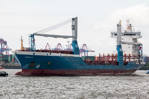
 Queen B
Current Status
Where is the vessel?
Queen B is currently in 75 nm W of Anna Maria, based on AIS data received about 14h ago.
Latest AIS update:
Current position: 27.13713° N, 84.07887° W (75 nm W of Anna Maria)
Average speed (last 7 days): Loading…
Average speed (last 30 days): Loading…
Vessel profile: Queen B is a Container Ship with dimensions 132m x 20m.
This page combines live AIS, route history, probable destination signals, nearby traffic, and port activity for practical vessel monitoring.
The current position of vessel Queen B is 27.13713 lat / -84.07887 lng. Updated: 2026-05-19 20:25:35 UTCNearest reference points:
- 62 nm SW of Anna Maria
- 78 nm SW of Boca Grande
- Near Tierra Verde
Currently sailing under the flag of Cyprus ![]()
Queen B built in 2004 year
Deadweight:
8223 tDetails:
Live Vessel Queen B Analytics (details, animations, etc.)
Recent AIS points (UTC):
2026-05-19 16:12:16 UTC · 27.59087, -83.02001 · SOG 14.4 kn · COG 246°2026-05-19 17:46:11 UTC · 27.42061, -83.41101 · SOG 14.8 kn · COG 243°
2026-05-19 19:55:58 UTC · 27.18658, -83.95477 · SOG 14.6 kn · COG 247°
2026-05-19 20:25:35 UTC · 27.13713, -84.07887 · SOG 14.6 kn · COG 244°