 Sagamore
Current Status
Where is the vessel?
Sagamore is currently in 23 nm SE of Villafranca Tirrena, based on AIS data received about 3d ago.
Latest AIS update:
Current position: 35.95763° N, 15.78538° E (23 nm SE of Villafranca Tirrena)
Average speed (last 7 days): Loading…
Average speed (last 30 days): Loading…
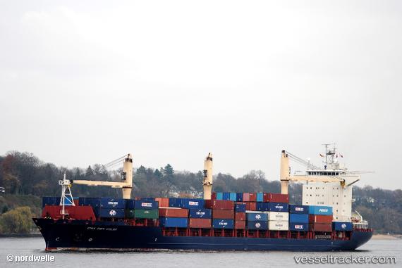
Vessel profile: Sagamore is a Container Ship with dimensions 184m x 26m.
This page combines live AIS, route history, probable destination signals, nearby traffic, and port activity for practical vessel monitoring.
The current position of vessel Sagamore is 35.95763 lat / 15.78538 lng. Updated: 2026-07-02 18:58:57 UTCNearest reference points:
- 34 nm NE of Villafranca Tirrena
- 33 nm N of Ryuo
- 24 nm S of Licodia Eubea
Currently sailing under the flag of USA ![]()
Sagamore built in 2008 year
Deadweight:
22749 tDetails:
Live Vessel Sagamore Analytics (details, animations, etc.)
Recent AIS points (UTC):
2026-07-02 18:58:57 UTC · 35.95763, 15.78538 · SOG 14.4 kn · COG 89°2026-07-02 18:58:57 UTC · 35.95763, 15.78538 · SOG 14.4 kn · COG 89°
2026-07-02 18:58:57 UTC · 35.95763, 15.78538 · SOG 14.4 kn · COG 89°
2026-07-02 18:58:57 UTC · 35.95763, 15.78538 · SOG 14.4 kn · COG 89°