 vesseltracker.com
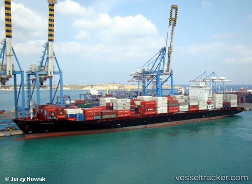
 YOKOHAMA STAR
Current Status
Where is the vessel?
YOKOHAMA STAR is currently in 19 nm SW of Air Parcel Sorting Office/Mumbai, based on AIS data received about 14h ago.
Latest AIS update:
Current position: 18.75541° N, 72.51487° E (19 nm SW of Air Parcel Sorting Office/Mumbai)
Average speed (last 7 days): Loading…
Average speed (last 30 days): Loading…
Vessel profile: YOKOHAMA STAR is a Container Ship with dimensions m x m.
This page combines live AIS, route history, probable destination signals, nearby traffic, and port activity for practical vessel monitoring.
The current position of vessel YOKOHAMA STAR is 18.75541 lat / 72.51487 lng. Updated: 2026-05-17 22:16:10 UTCNearest reference points:
- Near Mumbai
- Near HNB SEZ/Mumbai
- Near NHAVA SHEVA
Currently sailing under the flag of Marshall Islands ![]()
Details:
Live Vessel YOKOHAMA STAR Analytics (details, animations, etc.)
Recent AIS points (UTC):
2026-05-17 19:19:12 UTC · 18.75567, 72.51670 · SOG 0.1 kn · COG 324°2026-05-17 19:34:10 UTC · 18.75555, 72.51649 · SOG 0.1 kn · COG 332°
2026-05-17 21:25:12 UTC · 18.75538, 72.51517 · SOG 0.1 kn · COG 350°
2026-05-17 22:16:10 UTC · 18.75541, 72.51487 · SOG 0.2 kn · COG 352°