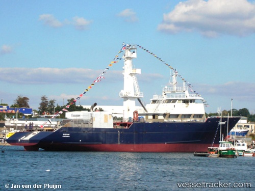
 F/V LAYLA
Current Status
Where is the vessel?
F/V LAYLA is currently in 70 nm E of Frégate, based on AIS data received about 1d ago.
Latest AIS update:
Current position: 4.77000° S, 57.08167° E (70 nm E of Frégate)
Average speed (last 7 days): Loading…
Average speed (last 30 days): Loading…
Vessel profile: F/V LAYLA is a Fishing with dimensions m x m.
This page combines live AIS, route history, probable destination signals, nearby traffic, and port activity for practical vessel monitoring.
The current position of vessel F/V LAYLA is -4.77000 lat / 57.08167 lng. Updated: 2026-06-09 00:48:31 UTCNearest reference points:
- Near Mahé Island Apt
Currently sailing under the flag of Oman ![]()
Details:
Live Vessel F/V LAYLA Analytics (details, animations, etc.)
Recent AIS points (UTC):
2026-06-09 00:48:31 UTC · -4.77000, 57.08167 · SOG 10 kn · COG -1°2026-06-09 00:48:31 UTC · -4.77000, 57.08167 · SOG 10 kn · COG -1°
2026-06-09 00:48:31 UTC · -4.77000, 57.08167 · SOG 10 kn · COG -1°
2026-06-09 00:48:31 UTC · -4.77000, 57.08167 · SOG 10 kn · COG -1°