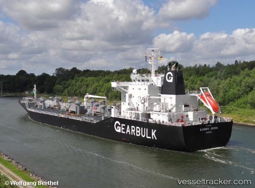
 SUNBIRD ARROW
Current Status
Where is the vessel?
SUNBIRD ARROW is currently in 103 nm SW of Keti Bandar, based on AIS data received about 14h ago.
Latest AIS update:
Current position: 22.69124° N, 66.40805° E (103 nm SW of Keti Bandar)
Average speed (last 7 days): Loading…
Average speed (last 30 days): Loading…
Vessel profile: SUNBIRD ARROW is a Asphalt/Bitumen Tanker with dimensions m x m.
This page combines live AIS, route history, probable destination signals, nearby traffic, and port activity for practical vessel monitoring.
The current position of vessel SUNBIRD ARROW is 22.69124 lat / 66.40805 lng. Updated: 2026-05-21 07:06:45 UTCNearest reference points:
- 84 nm SW of Keti Bandar
- 16 nm S of Kiamari
- 231 nm SW of Keti Bandar
Currently sailing under the flag of Marshall Islands ![]()
Details:
Live Vessel SUNBIRD ARROW Analytics (details, animations, etc.)
Recent AIS points (UTC):
2026-05-21 03:49:02 UTC · 22.67122, 66.35591 · SOG 0.5 kn · COG 316°2026-05-21 05:03:45 UTC · 22.67739, 66.37511 · SOG 0.8 kn · COG 329°
2026-05-21 06:40:26 UTC · 22.68832, 66.40077 · SOG 0.7 kn · COG 331°
2026-05-21 07:06:45 UTC · 22.69124, 66.40805 · SOG 0.7 kn · COG 329°