 WHITE ROSE
Current Status
Where is the vessel?
WHITE ROSE is currently in 85 nm N of Lae, based on AIS data received about 14h ago.
Latest AIS update:
Current position: 5.37833° S, 147.42500° E (85 nm N of Lae)
Average speed (last 7 days): Loading…
Average speed (last 30 days): Loading…
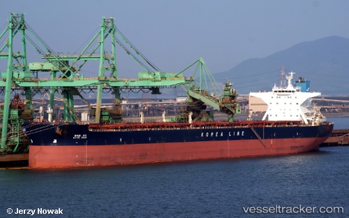
Vessel profile: WHITE ROSE is a Bulk Carrier with dimensions m x m.
This page combines live AIS, route history, probable destination signals, nearby traffic, and port activity for practical vessel monitoring.
The current position of vessel WHITE ROSE is -5.37833 lat / 147.42500 lng. Updated: 2026-05-20 17:53:45 UTCNearest reference points:
- Near Lae
- 42 nm E of Tami Island
Currently sailing under the flag of South Korea ![]()
Details:
Live Vessel WHITE ROSE Analytics (details, animations, etc.)
Recent AIS points (UTC):
2026-05-20 14:04:19 UTC · -6.02360, 147.87170 · SOG 13.3 kn · COG 295°2026-05-20 15:26:43 UTC · -5.82333, 147.66833 · SOG 12 kn · COG -1°
2026-05-20 16:06:45 UTC · -5.70062, 147.60214 · SOG 12.3 kn · COG 333°
2026-05-20 17:53:45 UTC · -5.37833, 147.42500 · SOG 11 kn · COG -1°