 TEJAS
TEJAS
Current Status
Where is the vessel?
TEJAS is currently in 67 nm E of Lü-hua Shan, based on AIS data received about 14h ago.
Latest AIS update:
Current position: 30.82833° N, 123.92215° E (67 nm E of Lü-hua Shan)
Average speed (last 7 days): Loading…
Average speed (last 30 days): Loading…
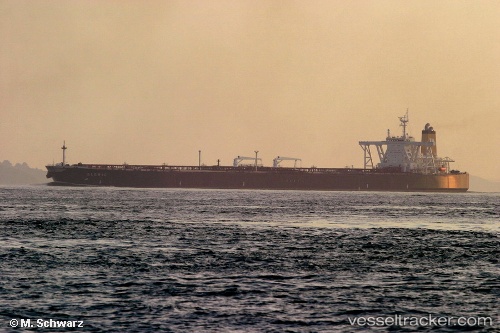
Vessel profile: TEJAS is a Tanker with dimensions m x m.
This page combines live AIS, route history, probable destination signals, nearby traffic, and port activity for practical vessel monitoring.
The current position of vessel TEJAS is 30.82833 lat / 123.92215 lng. Updated: 2026-05-21 04:03:58 UTCNearest reference points:
- 56 nm E of Lü-hua Shan
- 86 nm E of Lü-hua Shan
- 44 nm E of Lü-hua Shan
Currently sailing under the flag of Panama ![]()
Details:
Live Vessel TEJAS Analytics (details, animations, etc.)
Recent AIS points (UTC):
2026-05-21 01:18:39 UTC · 31.32855, 123.88742 · SOG 11.7 kn · COG 176°2026-05-21 01:31:49 UTC · 31.28590, 123.89065 · SOG 11.6 kn · COG 176°
2026-05-21 03:39:49 UTC · 30.90253, 123.91653 · SOG 10.9 kn · COG 173°
2026-05-21 04:03:58 UTC · 30.82833, 123.92215 · SOG 11 kn · COG 175°