 FULGER
Current Status
Where is the vessel?
FULGER is currently in 18 nm NE of Viinistu Sadam, based on AIS data received about 15h ago.
Latest AIS update:
Current position: 59.89714° N, 26.07199° E (18 nm NE of Viinistu Sadam)
Average speed (last 7 days): Loading…
Average speed (last 30 days): Loading…
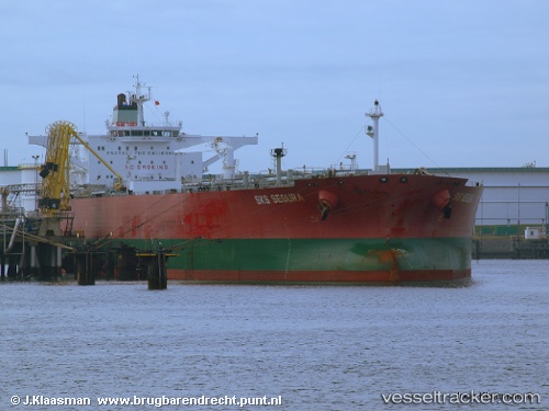
Vessel profile: FULGER is a Crude Oil Tanker with dimensions 274m x 48m.
This page combines live AIS, route history, probable destination signals, nearby traffic, and port activity for practical vessel monitoring.
The current position of vessel FULGER is 59.89714 lat / 26.07199 lng. Updated: 2026-05-22 04:13:51 UTCNearest reference points:
- 13 nm N of Viinistu Sadam
- Near Vessölandet
- Near Vuosaari (Nordsjö)
Currently sailing under the flag of Sierra Leone ![]()
FULGER built in 2007 year
Deadweight:
158784 tDetails:
Live Vessel FULGER Analytics (details, animations, etc.)
Recent AIS points (UTC):
2026-05-22 01:07:50 UTC · 59.89689, 26.07271 · SOG 0 kn · COG 226°2026-05-22 02:01:51 UTC · 59.89709, 26.07182 · SOG 0 kn · COG 214°
2026-05-22 03:28:52 UTC · 59.89739, 26.07093 · SOG 0 kn · COG 197°
2026-05-22 04:13:51 UTC · 59.89714, 26.07199 · SOG 0.1 kn · COG 213°