 MAI YANG
Current Status
Where is the vessel?
MAI YANG is currently in Open sea, approx. 408 nm off the nearest listed port, based on AIS data received about 14h ago.
Latest AIS update:
Current position: 9.97853° S, 1.15682° W (Open sea, approx. 408 nm off the nearest listed port)
Average speed (last 7 days): Loading…
Average speed (last 30 days): Loading…
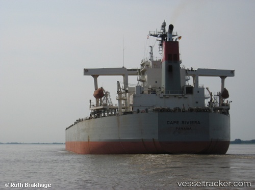
Vessel profile: MAI YANG is a Bulk Carrier with dimensions m x m.
This page combines live AIS, route history, probable destination signals, nearby traffic, and port activity for practical vessel monitoring.
The current position of vessel MAI YANG is -9.97853 lat / -1.15682 lng. Updated: 2026-05-22 12:17:33 UTCNearest reference points:
- Open sea, approx. 408 nm off the nearest listed port
- Open sea, approx. 411 nm off the nearest listed port
- Open sea, approx. 406 nm off the nearest listed port
Currently sailing under the flag of Panama ![]()
Details:
Live Vessel MAI YANG Analytics (details, animations, etc.)
Recent AIS points (UTC):
2026-05-22 08:06:21 UTC · -10.65170, -0.66509 · SOG 11.8 kn · COG 327°2026-05-22 09:51:52 UTC · -10.37073, -0.86486 · SOG 11.9 kn · COG 326°
2026-05-22 10:06:20 UTC · -10.33198, -0.89382 · SOG 12 kn · COG 326°
2026-05-22 12:17:33 UTC · -9.97853, -1.15682 · SOG 11.8 kn · COG 326°