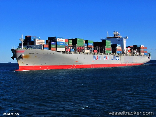
 ALS KRONOS
Current Status
Where is the vessel?
ALS KRONOS is currently in 29 nm SE of ULLADULLA, based on AIS data received about 14h ago.
Latest AIS update:
Current position: 35.57500° S, 151.00150° E (29 nm SE of ULLADULLA)
Average speed (last 7 days): Loading…
Average speed (last 30 days): Loading…
Vessel profile: ALS KRONOS is a Container Ship with dimensions m x m.
This page combines live AIS, route history, probable destination signals, nearby traffic, and port activity for practical vessel monitoring.
The current position of vessel ALS KRONOS is -35.57500 lat / 151.00150 lng. Updated: 2026-07-09 19:08:31 UTCNearest reference points:
- Near Jervis Bay
- 49 nm SE of Gerringong
- Near Sydenham
Currently sailing under the flag of Liberia ![]()
Details:
Live Vessel ALS KRONOS Analytics (details, animations, etc.)
Recent AIS points (UTC):
2026-07-09 07:52:31 UTC · -32.45567, 152.79800 · SOG 17.3 kn · COG 200°2026-07-09 07:58:00 UTC · -32.48053, 152.78716 · SOG 17.2 kn · COG 200°
2026-07-09 17:51:12 UTC · -35.23797, 151.13750 · SOG 16.9 kn · COG 201°
2026-07-09 19:08:31 UTC · -35.57500, 151.00150 · SOG 16.9 kn · COG 196°