 PROXIMA
Current Status
Where is the vessel?
PROXIMA is currently in 44 nm SW of Dokdo, based on AIS data received about 15h ago.
Latest AIS update:
Current position: 36.56823° N, 131.44301° E (44 nm SW of Dokdo)
Average speed (last 7 days): Loading…
Average speed (last 30 days): Loading…
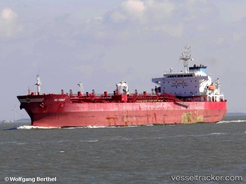
Vessel profile: PROXIMA is a Chemical Oil Products Tanker with dimensions 176m x 31m.
This page combines live AIS, route history, probable destination signals, nearby traffic, and port activity for practical vessel monitoring.
The current position of vessel PROXIMA is 36.56823 lat / 131.44301 lng. Updated: 2026-05-21 03:57:24 UTCNearest reference points:
- 67 nm W of NAKANOSHIMA
- 63 nm NW of Unnan
- 37 nm NW of NAKANOSHIMA
Currently sailing under the flag of Russia ![]()
PROXIMA built in 2008 year
Deadweight:
40149 tDetails:
Live Vessel PROXIMA Analytics (details, animations, etc.)
Recent AIS points (UTC):
2026-05-21 01:28:06 UTC · 36.08098, 131.17940 · SOG 12.9 kn · COG 31°2026-05-21 03:30:36 UTC · 36.47394, 131.43797 · SOG 13.3 kn · COG 5°
2026-05-21 03:57:24 UTC · 36.56823, 131.44301 · SOG 12.4 kn · COG 7°
2026-05-21 03:57:24 UTC · 36.56823, 131.44301 · SOG 12.4 kn · COG 7°