 vesseltracker.com
 KESTREL
Current Status
Where is the vessel?
KESTREL is currently in 60 nm S of Nanao Pt, based on AIS data received about 15h ago.
Latest AIS update:
Current position: 22.43500° N, 117.55667° E (60 nm S of Nanao Pt)
Average speed (last 7 days): Loading…
Average speed (last 30 days): Loading…
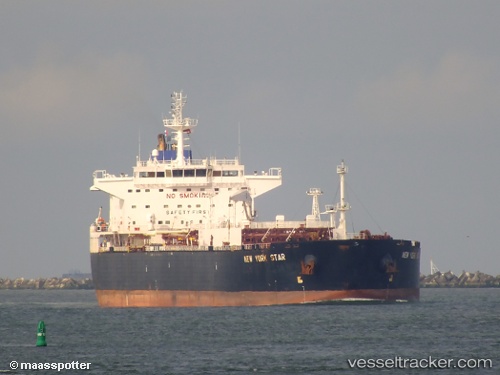
Vessel profile: KESTREL is a Crude Oil Tanker with dimensions m x m.
This page combines live AIS, route history, probable destination signals, nearby traffic, and port activity for practical vessel monitoring.
The current position of vessel KESTREL is 22.43500 lat / 117.55667 lng. Updated: 2026-05-17 21:07:49 UTCNearest reference points:
- 14 nm S of Guang'ao
- 64 nm SE of Jiazi
- 24 nm SE of Jinghai
Currently sailing under the flag of San Marino ![]()
Details:
Live Vessel KESTREL Analytics (details, animations, etc.)
Recent AIS points (UTC):
2026-05-17 19:10:50 UTC · 22.43500, 117.55833 · SOG 1 kn · COG -1°2026-05-17 19:37:52 UTC · 22.43500, 117.55833 · SOG 0 kn · COG -1°
2026-05-17 21:07:49 UTC · 22.43500, 117.55667 · SOG 0 kn · COG -1°
2026-05-17 21:07:49 UTC · 22.43500, 117.55667 · SOG 0 kn · COG -1°