 MSC LEVINA III
Current Status
Where is the vessel?
MSC LEVINA III is currently in 33 nm SW of Areópolis, based on AIS data received about 14h ago.
Latest AIS update:
Current position: 36.21675° N, 21.96629° E (33 nm SW of Areópolis)
Average speed (last 7 days): Loading…
Average speed (last 30 days): Loading…
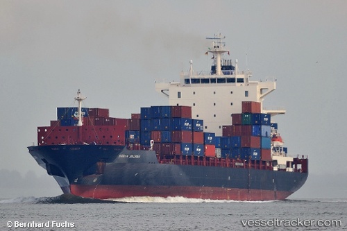
Vessel profile: MSC LEVINA III is a Container Ship with dimensions m x m.
This page combines live AIS, route history, probable destination signals, nearby traffic, and port activity for practical vessel monitoring.
The current position of vessel MSC LEVINA III is 36.21675 lat / 21.96629 lng. Updated: 2026-05-22 11:00:46 UTCNearest reference points:
- 23 nm S of Methoni
- 17 nm S of Areópolis
- Near Kythira
Currently sailing under the flag of Liberia ![]()
Details:
Live Vessel MSC LEVINA III Analytics (details, animations, etc.)
Recent AIS points (UTC):
2026-05-22 07:24:36 UTC · 36.04760, 22.76518 · SOG 13 kn · COG 273°2026-05-22 07:59:25 UTC · 36.06276, 22.61314 · SOG 11.4 kn · COG 279°
2026-05-22 10:01:26 UTC · 36.17354, 22.17497 · SOG 11 kn · COG 289°
2026-05-22 11:00:46 UTC · 36.21675, 21.96629 · SOG 10.4 kn · COG 285°