 vesseltracker.com
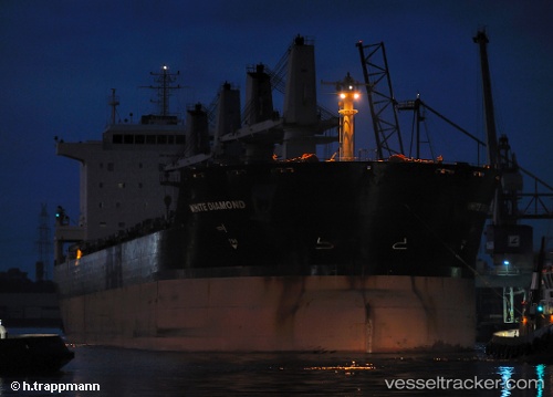
 OCEAN HARVEST 1
Current Status
Where is the vessel?
OCEAN HARVEST 1 is currently in 23 nm SE of Shinas, based on AIS data received about 117d ago.
Latest AIS update:
Current position: 24.55446° N, 56.83368° E (23 nm SE of Shinas)
Average speed (last 7 days): Loading…
Average speed (last 30 days): Loading…
Vessel profile: OCEAN HARVEST 1 is a Bulk Carrier with dimensions 190m x 190m.
This page combines live AIS, route history, probable destination signals, nearby traffic, and port activity for practical vessel monitoring.
The current position of vessel OCEAN HARVEST 1 is 24.55446 lat / 56.83368 lng. Updated: 2026-01-21 08:41:09 UTCNearest reference points:
- 18 nm SE of SHINAS
- 17 nm SE of Shinas
- 42 nm SE of Offshore Fujairah
Currently sailing under the flag of Hong Kong, China ![]()
OCEAN HARVEST 1 built in 2008 year
Deadweight:
53463 tDetails:
Live Vessel OCEAN HARVEST 1 Analytics (details, animations, etc.)
Recent AIS points (UTC):
2026-01-21 08:41:09 UTC · 24.55446, 56.83368 · SOG 0.1 kn · COG 329°