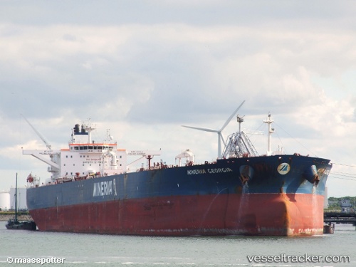
 MINERVA GEORGIA
Current Status
Where is the vessel?
MINERVA GEORGIA is currently in 85 nm SW of Kythira, based on AIS data received about 14h ago.
Latest AIS update:
Current position: 35.40114° N, 21.50185° E (85 nm SW of Kythira)
Average speed (last 7 days): Loading…
Average speed (last 30 days): Loading…
Vessel profile: MINERVA GEORGIA is a Crude Oil Tanker with dimensions m x m.
This page combines live AIS, route history, probable destination signals, nearby traffic, and port activity for practical vessel monitoring.
The current position of vessel MINERVA GEORGIA is 35.40114 lat / 21.50185 lng. Updated: 2026-05-22 07:59:09 UTCNearest reference points:
- 85 nm W of Paleochora
- 23 nm S of Methoni
- 59 nm W of Paleochora
Currently sailing under the flag of Liberia ![]()
Details:
Live Vessel MINERVA GEORGIA Analytics (details, animations, etc.)
Recent AIS points (UTC):
2026-05-22 04:10:14 UTC · 35.53879, 20.52199 · SOG 13.1 kn · COG 101°2026-05-22 06:21:48 UTC · 35.46324, 21.09843 · SOG 12.6 kn · COG 103°
2026-05-22 07:24:24 UTC · 35.42373, 21.36142 · SOG 12.3 kn · COG 104°
2026-05-22 07:59:09 UTC · 35.40114, 21.50185 · SOG 11.9 kn · COG 104°