 SUNNY LIGER
Current Status
Where is the vessel?
SUNNY LIGER is currently in 11 nm E of Port Bolivar, based on AIS data received about 15h ago.
Latest AIS update:
Current position: 29.33310° N, 94.53994° W (11 nm E of Port Bolivar)
Average speed (last 7 days): Loading…
Average speed (last 30 days): Loading…
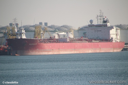
Vessel profile: SUNNY LIGER is a Oil Products Tanker with dimensions 229m x 31m.
This page combines live AIS, route history, probable destination signals, nearby traffic, and port activity for practical vessel monitoring.
The current position of vessel SUNNY LIGER is 29.33310 lat / -94.53994 lng. Updated: 2026-05-20 11:23:22 UTCNearest reference points:
- 12 nm SE of Port Bolivar
- Near Port Bolivar
- Near Texas City
Currently sailing under the flag of Marshall Islands ![]()
SUNNY LIGER built in 2008 year
Deadweight:
74997 tDetails:
Live Vessel SUNNY LIGER Analytics (details, animations, etc.)
Recent AIS points (UTC):
2026-05-20 08:11:22 UTC · 29.33324, -94.54002 · SOG 0.3 kn · COG 82°2026-05-20 10:02:22 UTC · 29.33291, -94.53984 · SOG 0 kn · COG 77°
2026-05-20 10:11:22 UTC · 29.33282, -94.53981 · SOG 0.1 kn · COG 76°
2026-05-20 11:23:22 UTC · 29.33310, -94.53994 · SOG 0.1 kn · COG 77°