 BLUE TALU
Current Status
Where is the vessel?
BLUE TALU is currently in Near Nipah, based on AIS data received about 15h ago.
Latest AIS update:
Current position: 1.11212° N, 103.53073° E (Near Nipah)
Average speed (last 7 days): Loading…
Average speed (last 30 days): Loading…
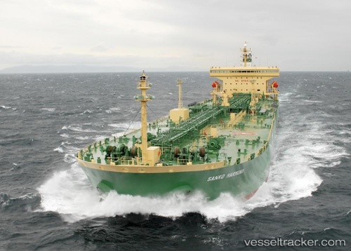
Vessel profile: BLUE TALU is a Oil Products Tanker with dimensions m x m.
This page combines live AIS, route history, probable destination signals, nearby traffic, and port activity for practical vessel monitoring.
The current position of vessel BLUE TALU is 1.11212 lat / 103.53073 lng. Updated: 2026-05-20 19:13:29 UTCNearest reference points:
- Near Nipah
- Near Tanjungbalai
- Near Tuas
Currently sailing under the flag of Cameroon ![]()
Details:
Live Vessel BLUE TALU Analytics (details, animations, etc.)
Recent AIS points (UTC):
2026-05-20 15:57:57 UTC · 1.05477, 103.28100 · SOG 8.2 kn · COG 284°2026-05-20 16:32:11 UTC · 1.11690, 103.25060 · SOG 9.6 kn · COG 44°
2026-05-20 17:38:49 UTC · 1.17577, 103.34972 · SOG 3.8 kn · COG 90°
2026-05-20 19:13:29 UTC · 1.11212, 103.53073 · SOG 7.6 kn · COG 123°