 vesseltracker.com
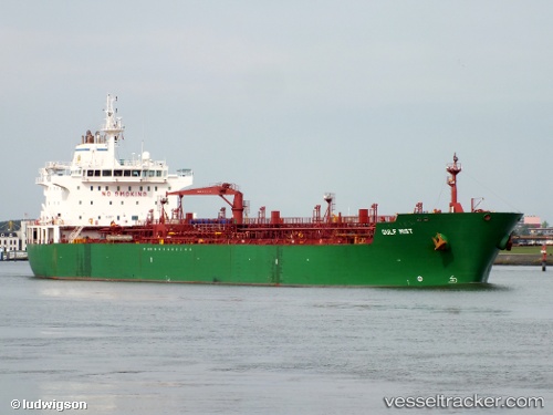
 KRITI CAPTAIN
Current Status
Where is the vessel?
KRITI CAPTAIN is currently in 14 nm SE of Sotogrande, based on AIS data received less than 1h ago.
Latest AIS update:
Current position: 36.15969° N, 5.04727° W (14 nm SE of Sotogrande)
Average speed (last 7 days): Loading…
Average speed (last 30 days): Loading…
Vessel profile: KRITI CAPTAIN is a Chemical/Oil Products Tanker with dimensions 27m x 184m.
This page combines live AIS, route history, probable destination signals, nearby traffic, and port activity for practical vessel monitoring.
The current position of vessel KRITI CAPTAIN is 36.15969 lat / -5.04727 lng. Updated: 2026-05-14 07:03:30 UTCNearest reference points:
- Near Waterport
- Near Sotogrande
- Near La Línea de la Concepción
Currently sailing under the flag of Liberia ![]()
KRITI CAPTAIN built in 2007 year
Deadweight:
37434 tDetails:
Live Vessel KRITI CAPTAIN Analytics (details, animations, etc.)
Recent AIS points (UTC):
2026-05-14 03:24:20 UTC · 36.13625, -5.08942 · SOG 0.7 kn · COG 306°2026-05-14 04:14:00 UTC · 36.14342, -5.07492 · SOG 1 kn · COG 332°
2026-05-14 06:19:19 UTC · 36.15310, -5.04843 · SOG 0.6 kn · COG 340°
2026-05-14 07:03:30 UTC · 36.15969, -5.04727 · SOG 0.6 kn · COG 315°