 DENAK D
Current Status
Where is the vessel?
DENAK D is currently in 49 nm SE of Rejected, based on AIS data received about 14h ago.
Latest AIS update:
Current position: 36.97136° N, 0.01130° W (49 nm SE of Rejected)
Average speed (last 7 days): Loading…
Average speed (last 30 days): Loading…
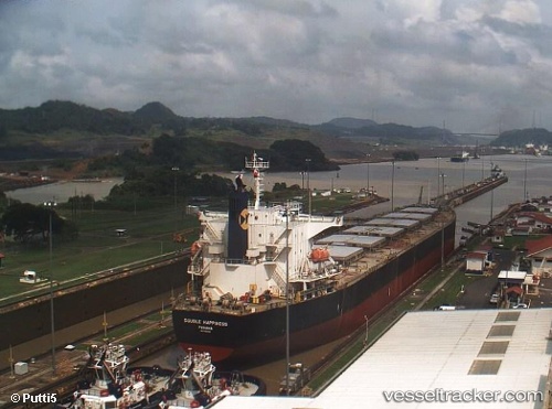
Vessel profile: DENAK D is a Bulk Carrier with dimensions m x m.
This page combines live AIS, route history, probable destination signals, nearby traffic, and port activity for practical vessel monitoring.
The current position of vessel DENAK D is 36.97136 lat / -0.01130 lng. Updated: 2026-08-02 12:16:29 UTCNearest reference points:
- 50 nm N of Mostaganem
- 43 nm NW of Mostaganem
- 49 nm S of Rejected
Currently sailing under the flag of Turkey ![]()
Details:
Live Vessel DENAK D Analytics (details, animations, etc.)
Recent AIS points (UTC):
2026-08-02 10:07:18 UTC · 37.09593, 0.54752 · SOG 12.7 kn · COG 253°2026-08-02 10:23:18 UTC · 37.07924, 0.47997 · SOG 12.8 kn · COG 255°
2026-08-02 11:48:19 UTC · 36.99802, 0.11098 · SOG 13 kn · COG 254°
2026-08-02 12:16:29 UTC · 36.97136, -0.01130 · SOG 13 kn · COG 254°