 ELITE STAR
Current Status
Where is the vessel?
ELITE STAR is currently in 207 nm E of Masirah, based on AIS data received about 15h ago.
Latest AIS update:
Current position: 19.85995° N, 62.45905° E (207 nm E of Masirah)
Average speed (last 7 days): Loading…
Average speed (last 30 days): Loading…
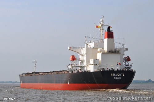
Vessel profile: ELITE STAR is a Bulk Carrier with dimensions 225m x 225m.
This page combines live AIS, route history, probable destination signals, nearby traffic, and port activity for practical vessel monitoring.
The current position of vessel ELITE STAR is 19.85995 lat / 62.45905 lng. Updated: 2026-05-21 03:35:36 UTCNearest reference points:
- 262 nm SE of SUR
- 224 nm E of SUR
- 90 nm SE of SUR
Currently sailing under the flag of Panama ![]()
ELITE STAR built in 2007 year
Deadweight:
75395 tDetails:
Live Vessel ELITE STAR Analytics (details, animations, etc.)
Recent AIS points (UTC):
2026-05-21 02:11:25 UTC · 19.86562, 62.74112 · SOG 11.4 kn · COG 265°2026-05-21 02:34:15 UTC · 19.86375, 62.66428 · SOG 11.1 kn · COG 265°
2026-05-21 03:35:36 UTC · 19.85995, 62.45905 · SOG 11.3 kn · COG 265°
2026-05-21 03:35:36 UTC · 19.85995, 62.45905 · SOG 11.3 kn · COG 265°