 Al Gattara
Current Status
Where is the vessel?
Al Gattara is currently in 22 nm NW of Flic en Flac, based on AIS data received about 15d ago.
Latest AIS update:
Current position: 20.05839° S, 57.03854° E (22 nm NW of Flic en Flac)
Average speed (last 7 days): Loading…
Average speed (last 30 days): Loading…
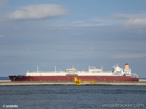
Vessel profile: Al Gattara is a Lng Tanker with dimensions 315m x 50m.
This page combines live AIS, route history, probable destination signals, nearby traffic, and port activity for practical vessel monitoring.
The current position of vessel Al Gattara is -20.05839 lat / 57.03854 lng. Updated: 2026-05-06 12:05:07 UTCNearest reference points:
- Near Port Louis
- 164 nm NW of Pointe aux Canonniers
Currently sailing under the flag of Marshall Is ![]()
Al Gattara built in 2007 year
Deadweight:
106898 tDetails:
Live Vessel Al Gattara Analytics (details, animations, etc.)
Recent AIS points (UTC):
2026-05-06 12:05:07 UTC · -20.05839, 57.03854 · SOG 2.1 kn · COG 159°