 DF PEAK
Current Status
Where is the vessel?
DF PEAK is currently in 29 nm SE of Toco, based on AIS data received about 14h ago.
Latest AIS update:
Current position: 10.62510° N, 60.50596° W (29 nm SE of Toco)
Average speed (last 7 days): Loading…
Average speed (last 30 days): Loading…
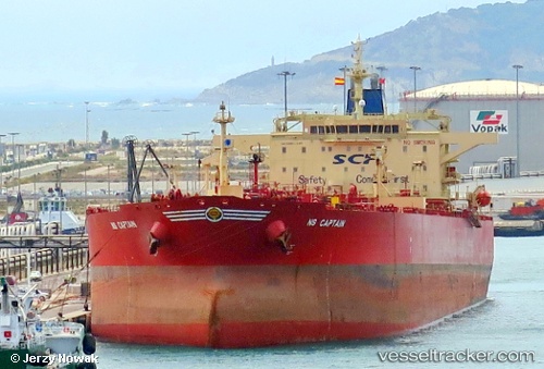
Vessel profile: DF PEAK is a Crude Oil Tanker with dimensions m x m.
This page combines live AIS, route history, probable destination signals, nearby traffic, and port activity for practical vessel monitoring.
The current position of vessel DF PEAK is 10.62510 lat / -60.50596 lng. Updated: 2026-07-09 17:37:08 UTCNearest reference points:
- 16 nm E of Galeota Point
- Near POINT LISAS
- Near Caroni
Currently sailing under the flag of Benin ![]()
Details:
Live Vessel DF PEAK Analytics (details, animations, etc.)
Recent AIS points (UTC):
2026-07-09 04:44:38 UTC · 10.62500, -60.50167 · SOG 0 kn · COG -1°2026-07-09 06:18:11 UTC · 10.62500, -60.50333 · SOG 0 kn · COG -1°
2026-07-09 08:03:48 UTC · 10.62667, -60.50333 · SOG 0 kn · COG -1°
2026-07-09 17:37:08 UTC · 10.62510, -60.50596 · SOG 0.2 kn · COG 41°