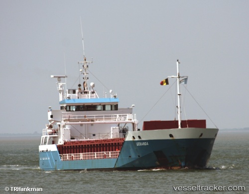
 KARESSA
Current Status
Where is the vessel?
KARESSA is currently in Near Kiel Canal, based on AIS data received about 15h ago.
Latest AIS update:
Current position: 53.88080° N, 9.09060° E (Near Kiel Canal)
Average speed (last 7 days): Loading…
Average speed (last 30 days): Loading…
Vessel profile: KARESSA is a General Cargo Ship with dimensions 90m x 14m.
This page combines live AIS, route history, probable destination signals, nearby traffic, and port activity for practical vessel monitoring.
The current position of vessel KARESSA is 53.88080 lat / 9.09060 lng. Updated: 2026-05-21 22:09:15 UTCNearest reference points:
- Near Kiel Canal
- Near Abbenfleth
- Near Stader Sand
Currently sailing under the flag of Antigua and Barbuda ![]()
KARESSA built in 2006 year
Deadweight:
4537 tDetails:
Live Vessel KARESSA Analytics (details, animations, etc.)
Recent AIS points (UTC):
2026-05-21 19:54:25 UTC · 53.83810, 8.82477 · SOG 7 kn · COG 92°2026-05-21 20:12:05 UTC · 53.83995, 8.88283 · SOG 7 kn · COG 84°
2026-05-21 21:51:15 UTC · 53.88078, 9.09050 · SOG 0 kn · COG 88°
2026-05-21 22:09:15 UTC · 53.88080, 9.09060 · SOG 0 kn · COG 91°