 FICUS
FICUS
Current Status
Where is the vessel?
FICUS is currently in 43 nm SW of DUBA, based on AIS data received about 14h ago.
Latest AIS update:
Current position: 27.22261° N, 34.83644° E (43 nm SW of DUBA)
Average speed (last 7 days): Loading…
Average speed (last 30 days): Loading…
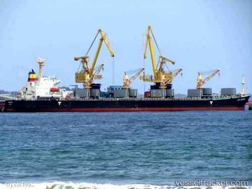
Vessel profile: FICUS is a Bulk Carrier with dimensions m x m.
This page combines live AIS, route history, probable destination signals, nearby traffic, and port activity for practical vessel monitoring.
The current position of vessel FICUS is 27.22261 lat / 34.83644 lng. Updated: 2026-05-24 23:26:23 UTCNearest reference points:
- 15 nm SW of Al Khuraibah
- Near DUBA
- Near Al Khuraibah
Currently sailing under the flag of Panama ![]()
Details:
Live Vessel FICUS Analytics (details, animations, etc.)
Recent AIS points (UTC):
2026-05-24 19:58:59 UTC · 27.79745, 34.50002 · SOG 10.8 kn · COG 152°2026-05-24 21:45:54 UTC · 27.50152, 34.67433 · SOG 11.6 kn · COG 153°
2026-05-24 22:11:42 UTC · 27.42742, 34.71692 · SOG 11.3 kn · COG 154°
2026-05-24 23:26:23 UTC · 27.22261, 34.83644 · SOG 10.8 kn · COG 157°