 vesseltracker.com
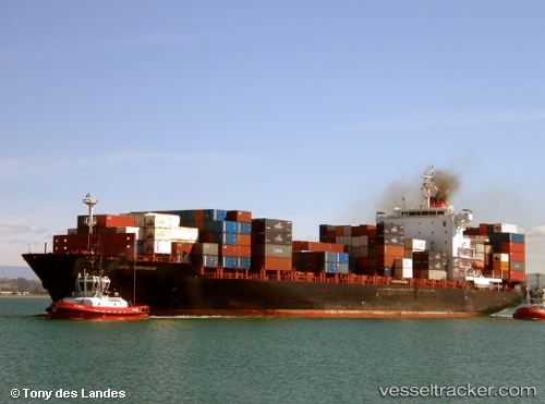
 Maersk Jabal
Current Status
Where is the vessel?
Maersk Jabal is currently in 14 nm NW of Ashdod, based on AIS data received less than 1h ago.
Latest AIS update:
Current position: 31.99174° N, 34.43689° E (14 nm NW of Ashdod)
Average speed (last 7 days): Loading…
Average speed (last 30 days): Loading…
Vessel profile: Maersk Jabal is a Container Ship with dimensions 222m x 30m.
This page combines live AIS, route history, probable destination signals, nearby traffic, and port activity for practical vessel monitoring.
The current position of vessel Maersk Jabal is 31.99174 lat / 34.43689 lng. Updated: 2026-05-16 03:37:36 UTCNearest reference points:
- 22 nm W of Haifa Granaries
- Near Haifa
- Near AL ARISH
Currently sailing under the flag of Singapore ![]()
Maersk Jabal built in 2008 year
Deadweight:
39479 tDetails:
Live Vessel Maersk Jabal Analytics (details, animations, etc.)
Recent AIS points (UTC):
2026-05-16 00:05:07 UTC · 32.05583, 34.38684 · SOG 1.2 kn · COG 19°2026-05-16 01:33:56 UTC · 32.02934, 34.40739 · SOG 1.3 kn · COG 33°
2026-05-16 01:57:57 UTC · 32.02177, 34.41340 · SOG 1.3 kn · COG 37°
2026-05-16 03:37:36 UTC · 31.99174, 34.43689 · SOG 1.2 kn · COG 37°