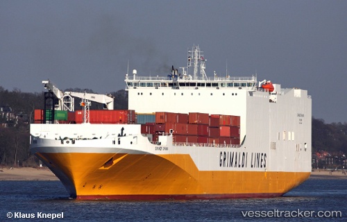
 Grande Ghana
Current Status
Where is the vessel?
Grande Ghana is currently in 23 nm S of Sagres, based on AIS data received about 16h ago.
Latest AIS update:
Current position: 36.63832° N, 8.76118° W (23 nm S of Sagres)
Average speed (last 7 days): Loading…
Average speed (last 30 days): Loading…
Vessel profile: Grande Ghana is a Vehicles Carrier with dimensions 210m x 210m.
This page combines live AIS, route history, probable destination signals, nearby traffic, and port activity for practical vessel monitoring.
The current position of vessel Grande Ghana is 36.63832 lat / -8.76118 lng. Updated: 2026-05-20 17:33:01 UTCNearest reference points:
- 18 nm S of Sagres
- Near Lagos
- Near Ferragudo
Currently sailing under the flag of Italy ![]()
Grande Ghana built in 2009 year
Deadweight:
25000 tDetails:
Live Vessel Grande Ghana Analytics (details, animations, etc.)
Recent AIS points (UTC):
2026-05-20 13:39:32 UTC · 36.29574, -7.47937 · SOG 17.8 kn · COG 289°2026-05-20 16:06:31 UTC · 36.52368, -8.29653 · SOG 16.7 kn · COG 288°
2026-05-20 16:51:50 UTC · 36.59081, -8.53918 · SOG 16 kn · COG 289°
2026-05-20 17:33:01 UTC · 36.63832, -8.76118 · SOG 16.4 kn · COG 285°