 vesseltracker.com
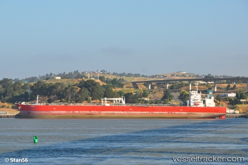
 ALQADISIA
Current Status
Where is the vessel?
ALQADISIA is currently in 54 nm N of Krueng Geukueh, based on AIS data received about 14h ago.
Latest AIS update:
Current position: 6.13225° N, 96.90660° E (54 nm N of Krueng Geukueh)
Average speed (last 7 days): Loading…
Average speed (last 30 days): Loading…
Vessel profile: ALQADISIA is a Crude Oil Tanker with dimensions m x m.
This page combines live AIS, route history, probable destination signals, nearby traffic, and port activity for practical vessel monitoring.
The current position of vessel ALQADISIA is 6.13225 lat / 96.90660 lng. Updated: 2026-05-18 13:47:53 UTCNearest reference points:
- 45 nm NE of Krueng Geukueh
- 34 nm N of Langsa Venture FPSO
- 45 nm N of Langsa Venture FPSO
Currently sailing under the flag of Marshall Islands ![]()
Details:
Live Vessel ALQADISIA Analytics (details, animations, etc.)
Recent AIS points (UTC):
2026-05-18 10:29:03 UTC · 6.05988, 97.49278 · SOG 11.1 kn · COG 276°2026-05-18 11:44:34 UTC · 6.08253, 97.26087 · SOG 11 kn · COG 276°
2026-05-18 13:19:44 UTC · 6.12062, 96.98515 · SOG 10 kn · COG 287°
2026-05-18 13:47:53 UTC · 6.13225, 96.90660 · SOG 10 kn · COG 284°