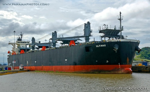
 ULTIMAX
Current Status
Where is the vessel?
ULTIMAX is currently in 132 nm SW of Ponta do Pargo, based on AIS data received about 14h ago.
Latest AIS update:
Current position: 31.71596° N, 19.50397° W (132 nm SW of Ponta do Pargo)
Average speed (last 7 days): Loading…
Average speed (last 30 days): Loading…
Vessel profile: ULTIMAX is a Wood Chips Carrier with dimensions 210m x 210m.
This page combines live AIS, route history, probable destination signals, nearby traffic, and port activity for practical vessel monitoring.
The current position of vessel ULTIMAX is 31.71596 lat / -19.50397 lng. Updated: 2026-05-20 09:47:20 UTCNearest reference points:
- 137 nm SW of Ponta do Pargo
- 124 nm SW of Ponta do Pargo
Currently sailing under the flag of Liberia ![]()
ULTIMAX built in 2006 year
Deadweight:
54347 tDetails:
Live Vessel ULTIMAX Analytics (details, animations, etc.)
Recent AIS points (UTC):
2026-05-20 05:44:50 UTC · 31.28411, -20.02725 · SOG 9.2 kn · COG 48°2026-05-20 07:23:19 UTC · 31.46059, -19.81940 · SOG 9.2 kn · COG 49°
2026-05-20 07:28:57 UTC · 31.47046, -19.80692 · SOG 9.2 kn · COG 49°
2026-05-20 09:47:20 UTC · 31.71596, -19.50397 · SOG 9.4 kn · COG 47°