 BAM PROTEUS
Current Status
Where is the vessel?
BAM PROTEUS is currently in Near Belfast, based on AIS data received about 14h ago.
Latest AIS update:
Current position: 54.61556° N, 5.90617° W (Near Belfast)
Average speed (last 7 days): Loading…
Average speed (last 30 days): Loading…
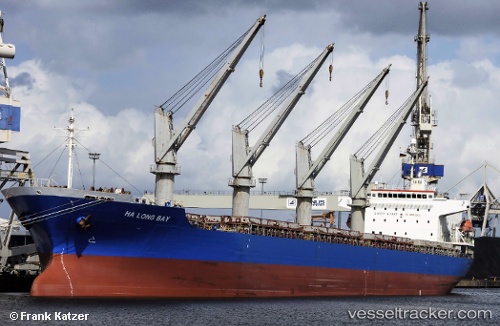
Vessel profile: BAM PROTEUS is a General Cargo with dimensions m x m.
This page combines live AIS, route history, probable destination signals, nearby traffic, and port activity for practical vessel monitoring.
The current position of vessel BAM PROTEUS is 54.61556 lat / -5.90617 lng. Updated: 2026-05-25 16:48:59 UTCNearest reference points:
- Near Belfast
- Near Crossgar
- Near KILKEEL
Currently sailing under the flag of Marshall Islands ![]()
Details:
Live Vessel BAM PROTEUS Analytics (details, animations, etc.)
Recent AIS points (UTC):
2026-05-25 13:01:04 UTC · 54.61559, -5.90616 · SOG 0 kn · COG 218°2026-05-25 13:55:01 UTC · 54.61561, -5.90615 · SOG 0 kn · COG 219°
2026-05-25 16:25:02 UTC · 54.61559, -5.90614 · SOG 0 kn · COG 218°
2026-05-25 16:48:59 UTC · 54.61556, -5.90617 · SOG 0 kn · COG 219°