 Southern Star
Current Status
Where is the vessel?
Southern Star is currently in Near Antalya Free Zone, based on AIS data received about 14h ago.
Latest AIS update:
Current position: 36.83545° N, 30.61216° E (Near Antalya Free Zone)
Average speed (last 7 days): Loading…
Average speed (last 30 days): Loading…
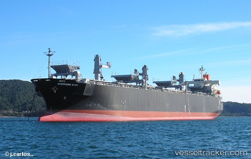
Vessel profile: Southern Star is a Wood Chips Carrier with dimensions 199m x 199m.
This page combines live AIS, route history, probable destination signals, nearby traffic, and port activity for practical vessel monitoring.
The current position of vessel Southern Star is 36.83545 lat / 30.61216 lng. Updated: 2026-05-21 07:21:08 UTCNearest reference points:
- Near Antalya Free Zone
- Near Antalya
- Near Kemer
Currently sailing under the flag of Panama ![]()
Southern Star built in 2007 year
Deadweight:
49470 tDetails:
Live Vessel Southern Star Analytics (details, animations, etc.)
Recent AIS points (UTC):
2026-05-21 03:51:04 UTC · 36.83551, 30.61212 · SOG 0 kn · COG 31°2026-05-21 04:36:05 UTC · 36.83547, 30.61218 · SOG 0 kn · COG 32°
2026-05-21 05:21:06 UTC · 36.83548, 30.61217 · SOG 0 kn · COG 31°
2026-05-21 07:21:08 UTC · 36.83545, 30.61216 · SOG 0 kn · COG 31°