 vesseltracker.com
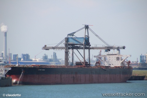
 Berge Rosa
Current Status
Where is the vessel?
Berge Rosa is currently in Open sea (no nearby ports in database), based on AIS data received about 22h ago.
Latest AIS update:
Current position: 2.48500° S, 88.23500° E (Open sea (no nearby ports in database))
Average speed (last 7 days): Loading…
Average speed (last 30 days): Loading…
Vessel profile: Berge Rosa is a Ore Carrier with dimensions 289m x 45m.
This page combines live AIS, route history, probable destination signals, nearby traffic, and port activity for practical vessel monitoring.
The current position of vessel Berge Rosa is -2.48500 lat / 88.23500 lng. Updated: 2026-05-18 03:04:46 UTCNearest reference points:
- Open sea (no nearby ports in database)
Currently sailing under the flag of United Kingdom ![]()
Berge Rosa built in 2006 year
Deadweight:
180230 tDetails:
Live Vessel Berge Rosa Analytics (details, animations, etc.)
Recent AIS points (UTC):
2026-05-18 03:04:46 UTC · -2.48500, 88.23500 · SOG 11 kn · COG -1°2026-05-18 03:04:46 UTC · -2.48500, 88.23500 · SOG 11 kn · COG -1°
2026-05-18 03:04:46 UTC · -2.48500, 88.23500 · SOG 11 kn · COG -1°
2026-05-18 03:04:46 UTC · -2.48500, 88.23500 · SOG 11 kn · COG -1°