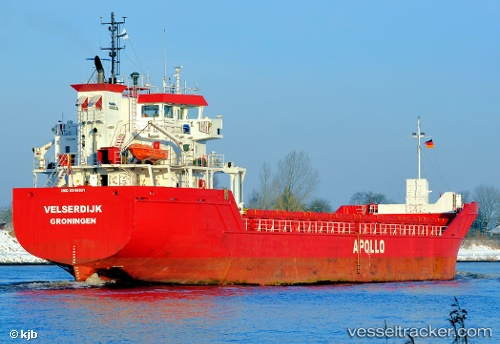
 Velserdijk
Current Status
Where is the vessel?
Velserdijk is currently in 73 nm SE of Nedroma, based on AIS data received about 14h ago.
Latest AIS update:
Current position: 33.94480° N, 13.94496° W (73 nm SE of Nedroma)
Average speed (last 7 days): Loading…
Average speed (last 30 days): Loading…
Vessel profile: Velserdijk is a Multi Purpose Carrier with dimensions m x 90m.
This page combines live AIS, route history, probable destination signals, nearby traffic, and port activity for practical vessel monitoring.
The current position of vessel Velserdijk is 33.94480 lat / -13.94496 lng. Updated: 2026-05-20 16:05:51 UTCNearest reference points:
- 104 nm W of Jarjis
- 109 nm E of Porto Santo Island
- 101 nm SW of Jarjis
Currently sailing under the flag of Netherlands ![]()
Details:
Live Vessel Velserdijk Analytics (details, animations, etc.)
Recent AIS points (UTC):
2026-05-20 11:37:50 UTC · 34.59202, -13.69295 · SOG 9.5 kn · COG 198°2026-05-20 13:21:41 UTC · 34.33816, -13.78776 · SOG 9 kn · COG 198°
2026-05-20 13:39:10 UTC · 34.29500, -13.80333 · SOG 9 kn · COG -1°
2026-05-20 16:05:51 UTC · 33.94480, -13.94496 · SOG 9.2 kn · COG 197°