 vesseltracker.com
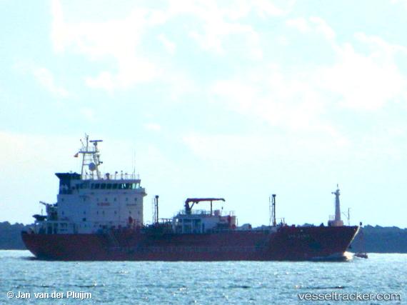
 Syn Zania
Current Status
Where is the vessel?
Syn Zania is currently in Near YALOVA, based on AIS data received less than 1h ago.
Latest AIS update:
Current position: 40.71621° N, 29.47382° E (Near YALOVA)
Average speed (last 7 days): Loading…
Average speed (last 30 days): Loading…
Vessel profile: Syn Zania is a Lpg Tanker with dimensions 94m x 99m.
This page combines live AIS, route history, probable destination signals, nearby traffic, and port activity for practical vessel monitoring.
The current position of vessel Syn Zania is 40.71621 lat / 29.47382 lng. Updated: 2026-05-14 19:49:10 UTCNearest reference points:
- Near YALOVA
- Near Yilport
- Near Diliskelesi
Currently sailing under the flag of Italy ![]()
Syn Zania built in 2008 year
Deadweight:
4026 tDetails:
Live Vessel Syn Zania Analytics (details, animations, etc.)
Recent AIS points (UTC):
2026-05-14 16:07:10 UTC · 40.71621, 29.47382 · SOG 0 kn · COG 127°2026-05-14 18:22:10 UTC · 40.71623, 29.47384 · SOG 0 kn · COG 128°
2026-05-14 19:34:10 UTC · 40.71621, 29.47381 · SOG 0 kn · COG 128°
2026-05-14 19:49:10 UTC · 40.71621, 29.47382 · SOG 0 kn · COG 127°