 OKEE HENRI
Current Status
Where is the vessel?
OKEE HENRI is currently in 41 nm NW of Nazaré, based on AIS data received about 15h ago.
Latest AIS update:
Current position: 39.94459° N, 9.84436° W (41 nm NW of Nazaré)
Average speed (last 7 days): Loading…
Average speed (last 30 days): Loading…
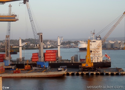
Vessel profile: OKEE HENRI is a Container Ship with dimensions 186m x 28m.
This page combines live AIS, route history, probable destination signals, nearby traffic, and port activity for practical vessel monitoring.
The current position of vessel OKEE HENRI is 39.94459 lat / -9.84436 lng. Updated: 2026-06-30 04:01:50 UTCNearest reference points:
- Near PENICHE
- 52 nm W of Canas de Santa Maria
- Near Nazaré
Currently sailing under the flag of Liberia ![]()
OKEE HENRI built in 2008 year
Deadweight:
28147 tDetails:
Live Vessel OKEE HENRI Analytics (details, animations, etc.)
Recent AIS points (UTC):
2026-06-30 01:21:45 UTC · 39.28710, -9.85187 · SOG 15.5 kn · COG 1°2026-06-30 01:30:44 UTC · 39.32356, -9.85071 · SOG 14.2 kn · COG 1°
2026-06-30 03:38:31 UTC · 39.84957, -9.84435 · SOG 14.2 kn · COG 358°
2026-06-30 04:01:50 UTC · 39.94459, -9.84436 · SOG 11.2 kn · COG 356°