 NORTHERN GUARD
Current Status
Where is the vessel?
NORTHERN GUARD is currently in 42 nm NW of Krueng Geukueh, based on AIS data received about 15h ago.
Latest AIS update:
Current position: 5.70023° N, 96.48590° E (42 nm NW of Krueng Geukueh)
Average speed (last 7 days): Loading…
Average speed (last 30 days): Loading…
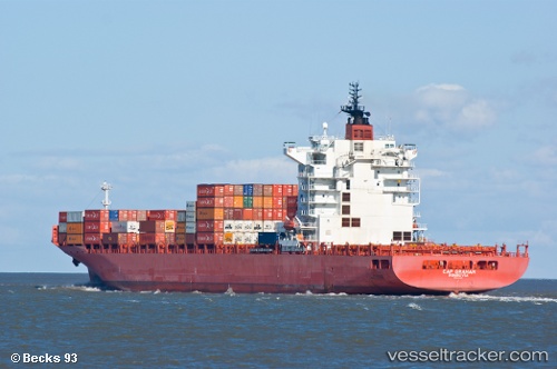
Vessel profile: NORTHERN GUARD is a Container Ship with dimensions m x m.
This page combines live AIS, route history, probable destination signals, nearby traffic, and port activity for practical vessel monitoring.
The current position of vessel NORTHERN GUARD is 5.70023 lat / 96.48590 lng. Updated: 2026-06-22 01:56:45 UTCNearest reference points:
- 45 nm NE of Krueng Geukueh
- 21 nm N of Sebang
- 53 nm NE of Sebang
Currently sailing under the flag of Liberia ![]()
Details:
Live Vessel NORTHERN GUARD Analytics (details, animations, etc.)
Recent AIS points (UTC):
2026-06-21 22:07:56 UTC · 5.86585, 95.75413 · SOG 12 kn · COG 102°2026-06-21 23:33:26 UTC · 5.80963, 96.03260 · SOG 11.5 kn · COG 87°
2026-06-22 01:26:17 UTC · 5.72252, 96.39568 · SOG 11.2 kn · COG 102°
2026-06-22 01:56:45 UTC · 5.70023, 96.48590 · SOG 10.7 kn · COG 101°