 LONG BEACH EXPRESS
Current Status
Where is the vessel?
LONG BEACH EXPRESS is currently in Near Belvedere, based on AIS data received about 15h ago.
Latest AIS update:
Current position: 37.84234° N, 122.43873° W (Near Belvedere)
Average speed (last 7 days): Loading…
Average speed (last 30 days): Loading…
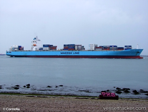
Vessel profile: LONG BEACH EXPRESS is a Container Ship with dimensions 293m x 294m.
This page combines live AIS, route history, probable destination signals, nearby traffic, and port activity for practical vessel monitoring.
The current position of vessel LONG BEACH EXPRESS is 37.84234 lat / -122.43873 lng. Updated: 2026-05-21 02:42:02 UTCNearest reference points:
- Near TIBURON
- Near San Francisco
- Near Marin City
Currently sailing under the flag of Liberia ![]()
LONG BEACH EXPRESS built in 2008 year
Deadweight:
68463 tDetails:
Live Vessel LONG BEACH EXPRESS Analytics (details, animations, etc.)
Recent AIS points (UTC):
2026-05-20 22:22:14 UTC · 37.79695, -122.31865 · SOG 0 kn · COG 289°2026-05-21 00:29:43 UTC · 37.79698, -122.31864 · SOG 0 kn · COG 289°
2026-05-21 01:13:54 UTC · 37.79699, -122.31867 · SOG 0 kn · COG 289°
2026-05-21 02:42:02 UTC · 37.84234, -122.43873 · SOG 15 kn · COG 259°