 TRANS HAV
Current Status
Where is the vessel?
TRANS HAV is currently in 26 nm SE of Lachassagne, based on AIS data received about 14h ago.
Latest AIS update:
Current position: 56.58086° N, 5.11953° E (26 nm SE of Lachassagne)
Average speed (last 7 days): Loading…
Average speed (last 30 days): Loading…
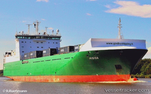
Vessel profile: TRANS HAV is a Ro-Ro Cargo with dimensions m x m.
This page combines live AIS, route history, probable destination signals, nearby traffic, and port activity for practical vessel monitoring.
The current position of vessel TRANS HAV is 56.58086 lat / 5.11953 lng. Updated: 2026-05-21 04:29:28 UTCNearest reference points:
- 36 nm W of HVIDE SANDE
- Near Egersund
- Near Åna-Sira
Currently sailing under the flag of Malta ![]()
Details:
Live Vessel TRANS HAV Analytics (details, animations, etc.)
Recent AIS points (UTC):
2026-05-21 01:25:18 UTC · 57.25993, 5.13112 · SOG 13.1 kn · COG 181°2026-05-21 01:46:06 UTC · 57.18524, 5.12952 · SOG 12.8 kn · COG 179°
2026-05-21 04:02:06 UTC · 56.68383, 5.13057 · SOG 13.6 kn · COG 180°
2026-05-21 04:29:28 UTC · 56.58086, 5.11953 · SOG 13.7 kn · COG 182°