 Andros Navigator
Current Status
Where is the vessel?
Andros Navigator is currently in Near WAILINGDING ISLAND, based on AIS data received about 14h ago.
Latest AIS update:
Current position: 21.95334° N, 113.99124° E (Near WAILINGDING ISLAND)
Average speed (last 7 days): Loading…
Average speed (last 30 days): Loading…
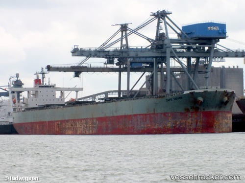
Vessel profile: Andros Navigator is a Bulk Carrier with dimensions 290m x 48m.
This page combines live AIS, route history, probable destination signals, nearby traffic, and port activity for practical vessel monitoring.
The current position of vessel Andros Navigator is 21.95334 lat / 113.99124 lng. Updated: 2026-05-21 04:13:45 UTCNearest reference points:
- Near WAILINGDING ISLAND
- 15 nm S of WAILINGDING ISLAND
- 14 nm SE of Wanshan Pt
Currently sailing under the flag of Liberia ![]()
Andros Navigator built in 2006 year
Deadweight:
185805 tDetails:
Live Vessel Andros Navigator Analytics (details, animations, etc.)
Recent AIS points (UTC):
2026-05-21 01:52:51 UTC · 21.95396, 113.98830 · SOG 0 kn · COG 160°2026-05-21 02:34:48 UTC · 21.95412, 113.98885 · SOG 0.1 kn · COG 170°
2026-05-21 03:58:45 UTC · 21.95368, 113.99075 · SOG 0.1 kn · COG 206°
2026-05-21 04:13:45 UTC · 21.95334, 113.99124 · SOG 0.1 kn · COG 219°