 Hellespont Progress
Current Status
Where is the vessel?
Hellespont Progress is currently in Near Amuay, based on AIS data received about 15h ago.
Latest AIS update:
Current position: 11.74590° N, 70.21643° W (Near Amuay)
Average speed (last 7 days): Loading…
Average speed (last 30 days): Loading…
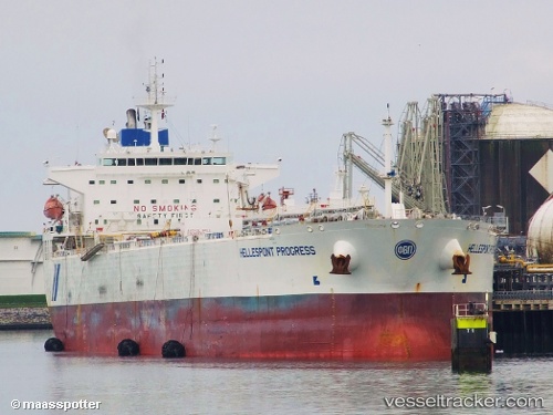
Vessel profile: Hellespont Progress is a Crude Oil Tanker with dimensions 228m x 32m.
This page combines live AIS, route history, probable destination signals, nearby traffic, and port activity for practical vessel monitoring.
The current position of vessel Hellespont Progress is 11.74590 lat / -70.21643 lng. Updated: 2026-05-21 04:32:44 UTCNearest reference points:
- Near Las Piedras
- 24 nm NW of Palm Beach
- Near Bullenbaai
Currently sailing under the flag of United Kingdom ![]()
Hellespont Progress built in 2006 year
Deadweight:
73727 tDetails:
Live Vessel Hellespont Progress Analytics (details, animations, etc.)
Recent AIS points (UTC):
2026-05-21 02:02:44 UTC · 11.74588, -70.21638 · SOG 0 kn · COG 74°2026-05-21 02:14:44 UTC · 11.74590, -70.21645 · SOG 0 kn · COG 74°
2026-05-21 03:38:44 UTC · 11.74592, -70.21645 · SOG 0 kn · COG 74°
2026-05-21 04:32:44 UTC · 11.74590, -70.21643 · SOG 0 kn · COG 74°