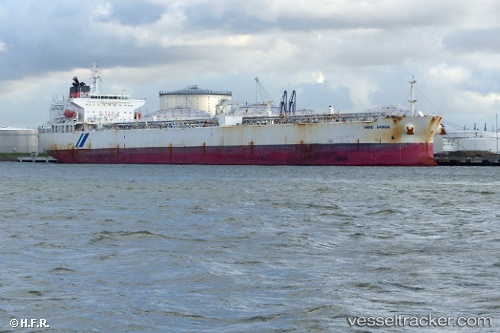
Sand Shiner
Current StatusWhere is the vessel?
Sand Shiner is currently in 36 nm N of Goto, based on AIS data received about 14h ago.
Latest AIS update:
Current position: 12.77553° N, 68.59192° W (36 nm N of Goto)
Average speed (last 7 days): Loading…
Average speed (last 30 days): Loading…
Vessel profile: Sand Shiner is a Crude Oil Tanker with dimensions 33m x 219m.
This page combines live AIS, route history, probable destination signals, nearby traffic, and port activity for practical vessel monitoring.
The current position of vessel Sand Shiner is 12.77553 lat / -68.59192 lng. Updated: 2026-05-20 17:48:52 UTCNearest reference points:
- Near Bullenbaai
- 24 nm NW of Palm Beach
- 148 nm N of Dorp Rincón
Details:
Live Vessel Sand Shiner Analytics (details, animations, etc.)
Recent AIS points (UTC):
2026-05-20 13:47:26 UTC · 12.67377, -67.81393 · SOG 11.5 kn · COG 278°2026-05-20 15:46:42 UTC · 12.73832, -68.20110 · SOG 11.4 kn · COG 275°
2026-05-20 16:31:21 UTC · 12.75381, -68.34224 · SOG 11.4 kn · COG 269°
2026-05-20 17:48:52 UTC · 12.77553, -68.59192 · SOG 11.3 kn · COG 274°