 vesseltracker.com
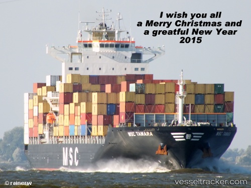
 Msc Tamara
Current Status
Where is the vessel?
Msc Tamara is currently in Near JINHAI HEAVY INDUSTR, based on AIS data received about 6d ago.
Latest AIS update:
Current position: 30.28624° N, 122.07321° E (Near JINHAI HEAVY INDUSTR)
Average speed (last 7 days): Loading…
Average speed (last 30 days): Loading…
Vessel profile: Msc Tamara is a Container Ship with dimensions 265m x 32m.
This page combines live AIS, route history, probable destination signals, nearby traffic, and port activity for practical vessel monitoring.
The current position of vessel Msc Tamara is 30.28624 lat / 122.07321 lng. Updated: 2026-04-19 05:55:46 UTCNearest reference points:
- Near JINHAI HEAVY INDUSTR
- 11 nm N of Majistan/Zhoushan
- 11 nm NW of JINHAI HEAVY INDUSTR
Currently sailing under the flag of Panama ![]()
Msc Tamara built in 2008 year
Deadweight:
50446 tDetails:
Live Vessel Msc Tamara Analytics (details, animations, etc.)
Recent AIS points (UTC):
2026-04-19 05:55:46 UTC · 30.28624, 122.07321 · SOG 0 kn · COG -1°2026-04-19 05:55:46 UTC · 30.28624, 122.07321 · SOG 0 kn · COG -1°
2026-04-19 05:55:46 UTC · 30.28624, 122.07321 · SOG 0 kn · COG -1°
2026-04-19 05:55:46 UTC · 30.28624, 122.07321 · SOG 0 kn · COG -1°