 SPM NEEL PRATAP 155
Current Status
Where is the vessel?
SPM NEEL PRATAP 155 is currently in Near AL DUQM, based on AIS data received about 15h ago.
Latest AIS update:
Current position: 19.67167° N, 57.71833° E (Near AL DUQM)
Average speed (last 7 days): Loading…
Average speed (last 30 days): Loading…
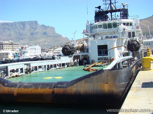
Vessel profile: SPM NEEL PRATAP 155 is a Tug with dimensions m x m.
This page combines live AIS, route history, probable destination signals, nearby traffic, and port activity for practical vessel monitoring.
The current position of vessel SPM NEEL PRATAP 155 is 19.67167 lat / 57.71833 lng. Updated: 2026-05-22 12:17:55 UTCNearest reference points:
- Near AL DUQM
- Near Duqm
- 39 nm SE of Pizhou
Currently sailing under the flag of Liberia ![]()
Details:
Live Vessel SPM NEEL PRATAP 155 Analytics (details, animations, etc.)
Recent AIS points (UTC):
2026-05-22 07:51:00 UTC · 19.66667, 57.71167 · SOG 0 kn · COG -1°2026-05-22 10:02:55 UTC · 19.66667, 57.71167 · SOG 0 kn · COG -1°
2026-05-22 10:54:02 UTC · 19.66667, 57.71167 · SOG 0 kn · COG -1°
2026-05-22 12:17:55 UTC · 19.67167, 57.71833 · SOG 6 kn · COG -1°