 ANTEY
ANTEY
Current Status
Where is the vessel?
ANTEY is currently in 32 nm N of Dokdo, based on AIS data received about 14h ago.
Latest AIS update:
Current position: 37.73390° N, 131.61143° E (32 nm N of Dokdo)
Average speed (last 7 days): Loading…
Average speed (last 30 days): Loading…
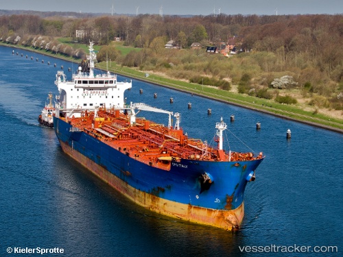
Vessel profile: ANTEY is a Oil/Chemical Tanker with dimensions m x m.
This page combines live AIS, route history, probable destination signals, nearby traffic, and port activity for practical vessel monitoring.
The current position of vessel ANTEY is 37.73390 lat / 131.61143 lng. Updated: 2026-07-04 15:47:54 UTCNearest reference points:
- 33 nm NE of Ulleung-gun
- 94 nm N of Dokdo
- 96 nm N of Ulleung-gun
Currently sailing under the flag of Palau ![]()
Details:
Live Vessel ANTEY Analytics (details, animations, etc.)
Recent AIS points (UTC):
2026-07-04 11:34:10 UTC · 38.61167, 131.84666 · SOG 12 kn · COG -1°2026-07-04 13:22:32 UTC · 38.23008, 131.74440 · SOG 12.9 kn · COG 193°
2026-07-04 13:22:32 UTC · 38.23008, 131.74440 · SOG 12.9 kn · COG 193°
2026-07-04 15:47:54 UTC · 37.73390, 131.61143 · SOG 11.9 kn · COG 194°