 SPIL KARTIKA
Current Status
Where is the vessel?
SPIL KARTIKA is currently in 21 nm SE of Tema, based on AIS data received about 7d ago.
Latest AIS update:
Current position: 5.32443° N, 0.20007° E (21 nm SE of Tema)
Average speed (last 7 days): Loading…
Average speed (last 30 days): Loading…
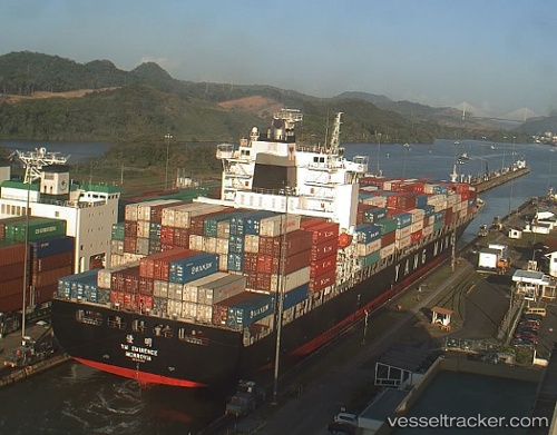
Vessel profile: SPIL KARTIKA is a Container Ship with dimensions 32m x 269m.
This page combines live AIS, route history, probable destination signals, nearby traffic, and port activity for practical vessel monitoring.
The current position of vessel SPIL KARTIKA is 5.32443 lat / 0.20007 lng. Updated: 2026-06-23 07:34:15 UTCNearest reference points:
- Near Ablogamé
- Near Sekondi
- Near Takoradi
Currently sailing under the flag of Panama ![]()
SPIL KARTIKA built in 2008 year
Deadweight:
52773 tDetails:
Live Vessel SPIL KARTIKA Analytics (details, animations, etc.)
Recent AIS points (UTC):
2026-06-23 07:34:15 UTC · 5.32443, 0.20007 · SOG 9.5 kn · COG 334°2026-06-23 07:34:15 UTC · 5.32443, 0.20007 · SOG 9.5 kn · COG 334°
2026-06-23 07:34:15 UTC · 5.32443, 0.20007 · SOG 9.5 kn · COG 334°
2026-06-23 07:34:15 UTC · 5.32443, 0.20007 · SOG 9.5 kn · COG 334°